By Wilder Alejandro Sanchez
The Southern Tide
Written by Wilder Alejandro Sanchez, The Southern Tide addresses maritime security issues throughout Latin America and the Caribbean. It discusses the challenges regional navies face including limited defense budgets, inter-state tensions, and transnational crimes. It also examines how these challenges influence current and future defense strategies, platform acquisitions, and relations with global powers.
“Whether [working] against COVID, transnational criminal organizations, the predatory actions of China, the malign influence of Russia, or natural disasters, there’s nothing we cannot overcome or achieve through an integrated response with our interagency allies and partners.” – General Laura J. Richardson, Commander, U.S. Southern Command
In a speech to commemorate the service’s sea day (Día de la Fuerza de Mar) on August 21, Uruguayan Navy Captain Daniel Di Bono stated, “Starting today, it is time to start writing another page of this story. Ours, [the story] of the older ones, those of the Frigates, the Minesweepers, the [marine research vessel] Vanguardia, is already coming to an end. The period of modern, agile, and flexible ocean patrol vessels, coastal patrol vessels, and scientific vessels is approaching.”
Navies constantly evolve due to new challenges, objectives, visions, and realities. However, analysts rarely witness a sharp evolution of a Navy and its fleet. The Uruguayan Navy is undergoing that process, and as a reliable U.S. ally, Washington needs to understand what is going on and why.
Out With the Old, In With the New
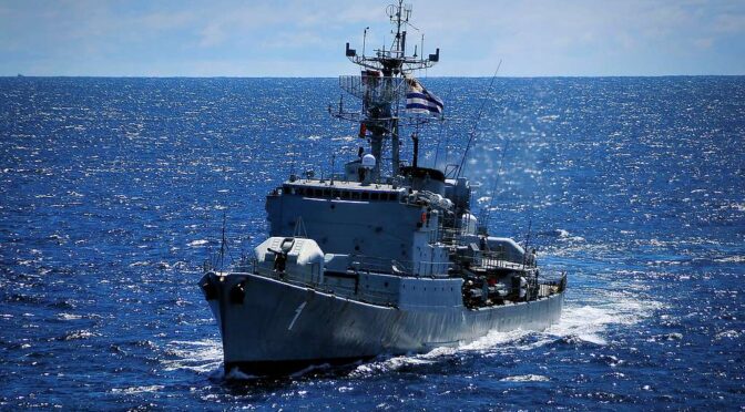
For decades, the Uruguayan Navy operated one of the oldest fleets in South America. Aside from landlocked Bolivia and Paraguay and not considering Guyana and Suriname (more generally associated with the Caribbean), Uruguay is the only South American country that does not possess submarines. The fleet’s flagship is the Luneburg-class logistics vessel ROU 04 General Artigas, launched in the 1960s. The service has decommissioned several in recent years, including its only frigate, the former ROU 01 Uruguay – formerly Portugal’s Comandante Joao Belo (F480). In other words, currently, the Navy has no main combat ships.
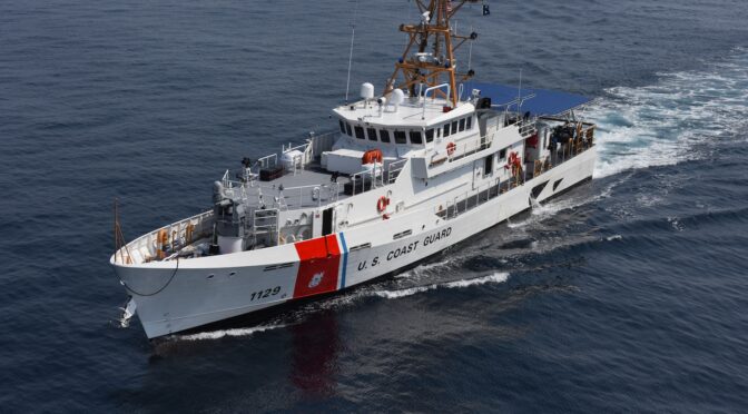
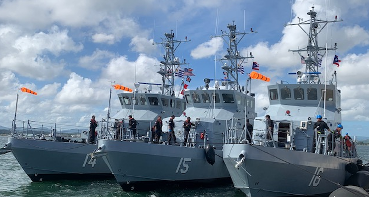
On the other hand, the service is receiving new(ish) vessels. In late 2022, the Uruguayan Navy commissioned three Marine Protector-class patrol boats formerly operated by the United States Coast Guard. The three ships are already operating across Uruguayan waters: ROU 14 Río Arapey, ROU 15 Río de la Plata, and ROU 16 Río Yaguarón. Moreover, after around a decade of negotiations, brand-new ships are on the horizon. In July, the Ministry of Defense announced that two offshore patrol vessels (OPVs) will be purchased from a Spanish shipyard. Crucially, the OPVs will be capable of carrying helicopters, an ability that the fleet currently lacks.
Uruguay is scheduled to hold general elections in October 2024. Therefore, one can only hope that the OPV acquisition will be confirmed and all necessary agreements signed so the deal does not fall victim to traditional election-related debates and delays.
Evolving Challenges
A fact mentioned earlier deserves more analysis – the Uruguayan Navy does not possess subs and currently does operate heavy warships in its fleet. As discussed in Captain Di Bono’s speech, that era is ending for this service. Geopolitics is a reason for this statement: Uruguay borders two countries, Argentina and Brazil, and bilateral relations are quite strong. For example, the Brazilian Ministry of Defense has donated M41C Walker Bulldog tanks, armored vehicles, and artillery platforms to the Uruguayan Army. The likelihood of an inter-state war is minimal; therefore, as the Uruguayan officials have also stated, the Navy’s necessity to operate cruisers and minesweepers is similarly minimal. Dr. Andrea Resende, associate professor at Brazil’s University Center of Belo Horizonte (UNIBH), explained to CIMSEC that “there is some tension between Argentina and Uruguay, however not like in the previous decades. Yet, Brazil has always played a third party during conflicts and tensions in the region because the stability of its borders frontiers depends on a peaceful environment.”
To promote close military relations, from September 11-15, the navies of Argentina, Brazil, and Uruguay carried out a new iteration of an academic exercise on trilateral warfare (Juego de Guerra Trilateral) in Carrasco, Uruguay. “The Trilateral War Game, carried out annually, was designed to allow interaction in the formulation, analysis and solution of international crisis problems in the South Atlantic region, based on a fictitious situation, using naval forces,” explains the Argentine Navy’s publication Gaceta Maritima.
Nowadays, the Uruguayan Navy is evolving into a smaller, faster, more modern fleet. What are its challenges? Controlling the country’s vast maritime waters is critical to combat illegal, unreported, or unregulated (IUU) fishing and other maritime crimes like drug trafficking and smuggling. In other words, protecting Uruguay’s exclusive economic zone (EEZ) from non-interstate threats is critical.
Having OPVs that carry helicopters will also be helpful for interdiction operations and search-and-rescue missions. Smaller craft can also operate along some of Uruguay’s rivers for security and patrol operations and to participate in humanitarian assistance and disaster relief (HADR) missions. It is worth noting that the Navy has created a tactical operations center (Centro de Operaciones Tácticas: COT) that oversees the deployment of surface and aerial assets to combat illegal maritime activities.
Dr. Resende warned of a potential spillover effect from the other side of the Atlantic: “While piracy, robbery, and hijacking are major problems in the Gulf of Guinea, they can overflow across the entire region, so there is a need for the South Atlantic navies to be ready and to participate in joint exercises and operations,” to maintain their readiness and to be able to work together. In other words, having a smaller fleet does not mean giving up some capabilities, particularly regarding maritime law enforcement and patrol.
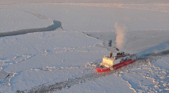
With that said, there will always be a need for heavier, more specialized ships. Science is a good reason for having them. The Uruguayan Navy has an active role in scientific and oceanographic research, but unfortunately, the scientific vessel ROU 22 Oyarvide was decommissioned in 2022 without a replacement ready. While not a priority as compared to the OPVs, Montevideo must assign financial assets to acquire a new scientific vessel soon. Moreover, Uruguay has a robust presence in Antarctica, and General Artigas participated in the country’s recent 2022/2023 Antarctic campaign. Upon its return to Montevideo in February, Defense Minister Javier García noted, “[Artigas] was a ship that had not sailed since 2018, which was overhauled, the things that needed to be fixed were fixed, and it once again provided an essential service in an Antarctic mission.” In other words, the Uruguayan Navy has a critical role in scientific operations across Uruguayan and Antarctic waters; therefore, scientific and polar-capable vessels must be components of the future fleet.
The service has yet to disclose when the ancient Artigas will be decommissioned. The ship is currently the fleet’s heaviest vessel, so a similar platform will be needed to replace it for local transportation operations and Uruguay’s future Antarctic campaigns.
Montevideo-Washington Relations: Moving Forward
Finally, a word about U.S.-Uruguay naval relations is necessary. They may not be as constant as the U.S. Navy’s and U.S. Coast Guard’s presence across the Greater Caribbean, but they exist. The donation of the Marine Protector vessels to the Uruguayan Navy and helicopters to the Uruguayan Air Force over the past two years are an excellent example of close bilateral defense relations.
Moreover, in February, the U.S. Coast Guard Legend-class cutter Stone’s (WMSL-758) visit to Montevideo port coincided with the 70th anniversary of the mutual defense cooperation agreement signed between the two countries in 1953. “The agreement served as the foundation for the long history of cooperation between the two democracies in defense equipment, training, and peacekeeping operations around the world that continues to thrive today,” explained the U.S. embassy in Uruguay in a press release.
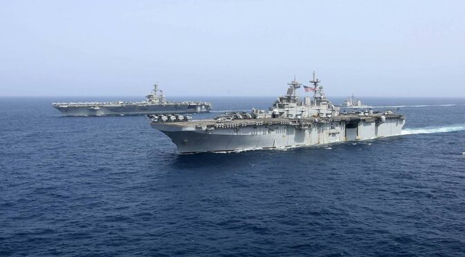
Given the ongoing war in Ukraine (and news of successful attacks against Russian ships and submarines), tensions with China, and regular incidents at sea with Iran, it may appear puzzling for Washington that a Navy can operate without frigates or submarines. However, the geopolitics of Latin America and the Caribbean differ from other areas of the world. In particular, inter-state relations between Uruguay with Argentina and Brazil remain strong in the South Atlantic. The participation in joint exercises by these three militaries is an effective confidence-building mechanism.
“One can never predict the future [but a military service must be] prepared for whatever may come. And this is the case for Uruguay. Even if we live in a relative state of peace, the maritime space is threatened daily with cyberattacks, IUU fishing, piracy, and illegal trafficking,” concluded Dr. Resende. Smaller but faster and more modern ships, with more interdiction and surveillance capabilities, will be the pillars of the Uruguayan Navy’s fleet in the 21st century. The threats may be changing, but the mission remains the same.
Wilder Alejandro Sánchez is an analyst who focuses on international defense, security, and geopolitical issues across the Western Hemisphere, Central Asia, and Eastern Europe. He is the President of Second Floor Strategies, a consulting firm in Washington, DC. Follow him on Twitter: @W_Alex_Sanchez
Featured Image: