Chokepoints and Littorals Topic Week
By Pete McPhail, Arthur Speyer, Bret Rodgers, Steve Ostrosky, Jesse Burns, and Dan Marquis
Military decision-makers instinctively think in geographic terms. Southeast Asia’s complex economic, military, political, legal, and environmental layers are best portrayed visually. By spatially portraying information, troops can work their way through geography to comprehend the interaction of these complex layers.
The INDOPACOM AOR continues to be a primary focus of U.S. naval forces, and the area is of central importance to China. The strategic chokepoints and littorals of the region, such as the Malacca Strait, have major military and economic significance. Each chokepoint has different environmental factors, from size, location, and depth. Additional regional factors, such as piracy, are also strongly related to geography.
This map describes the strategic importance of Southeast Asian littoral geography to China’s interests. By studying the map the user sees correlations between China’s diplomatic and economic investments and chokepoint geography. This map may be used as a starting point for wargames and discussing policy options.
Click on the map below to view it more closely and hone in on the strategic chokepoints of the region.

The research team is an inter-disciplinary team of civilian Marine Corps regional analysts and geographers affiliated with the Marine Corps Intelligence Activity.
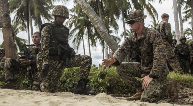
Featured Image: TANDUO BEACH, Malaysia (Nov. 11, 2015) U.S. Marine 1st Lt. Erik Glynn discusses troop movements with a Malaysian army platoon commander prior to rehearsing amphibious operations during Malaysia-United States Amphibious Exercise 2015. (U.S. Marine Corps photo by Sgt. Emmanuel Ramos/Released)